Tyler Bricks

In the maps’ own words

From 1885 to 1950 the Sanborn Map Company drew Tyler for fire insurers, block by block. Five of its editions, now at the Library of Congress, say in a line of their own how the streets were paved.

Not paved, then a mile of brick, then 37 miles of paving
  • Brick
  • All paving, material not named
  1. Sept. 1907None paved. “Grades generally level. streets not paved.”1
  2. Feb. 19121 miles. “About one mile of brick paved streets.”2
  3. Aug. 1919No figure. “Streets in business section mostly paved with brick and asphalt.”3
  4. Sept. 19235 miles. Not a map: City Manager V. W. Prater, writing that about 5 of Tyler’s 130 miles of street are paved.4
  5. 1925Not a map: voters pass a bond to pave 15 more streets.5
  6. March 192818½ miles. “18½ MILES OF PAVING”6
  7. 193837 miles. “Paving:—About 37 miles.”7

September 1907

“Grades generally level. streets not paved.”1

The notes under the title run through the waterworks and the fire department, and end on the streets.
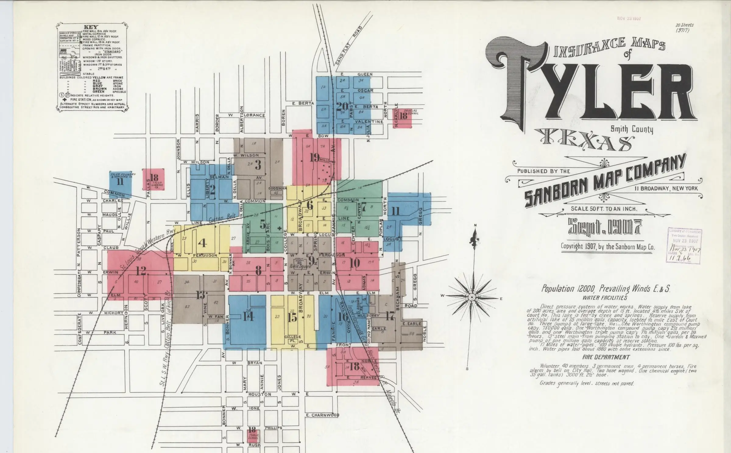

The top of Sanborn’s September 1907 sheet of Tyler: blocks around the public square colored by building material, the title “Insurance Maps of Tyler, Texas” at right and a column of handwritten notes below it.
Handwritten notes on the 1907 sheet ending “Grades generally level. streets not paved.”
Above: sheet 1, the key map, the title and the notes. Below: the notes’ last line, at full size.Sanborn Map Company, Tyler, Smith County, Texas, 1907. Library of Congress, Geography and Map Division, Sanborn Maps Collection.The whole sheet at the Library of Congress (opens in a new tab)

1907, in two records

“Grades generally level. streets not paved.”

The Sanborn map of Tyler, dated September 1907, sheet 1

“In 1907 streets around the square were paved using red brick made of heat treated clay manufactured at the Mineral Wells Brick Co.”

The National Register survey of Tyler’s historic resources, July 2000; the 2003 Brick Streets nomination says the same

Neither gives a month for the square, so both may be true of different points in 1907. The same survey dates the first paving, at the railroad crossings, to July 2, 1906.89

February 1912

“About one mile of brick paved streets.”2

Four and a half years on, a figure, and a material: about a mile, in brick.

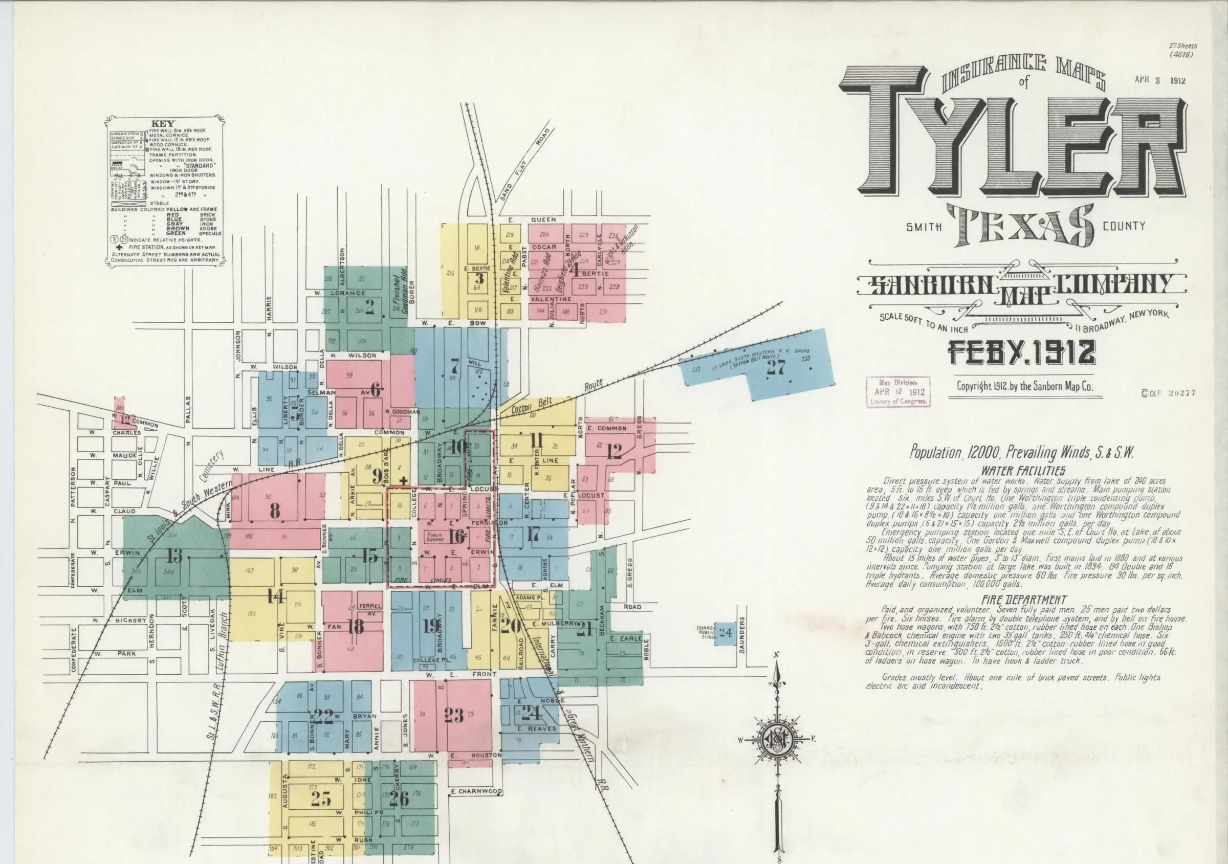
The top of Sanborn’s February 1912 sheet of Tyler: 27 numbered blocks in pink, yellow, blue and green around the public square, the fire limits outlined in red, the Cotton Belt shops at upper right, and the title and notes beside them.
Handwritten notes on the 1912 sheet: “Grades mostly level. About one mile of brick paved streets. Public lights electric arc and incandescent.”
Sheet 1, February 1912: the town in 27 sheets around the public square, the fire limits outlined in red. With it, the line itself, at full size.Sanborn Map Company, Tyler, Smith County, Texas, 1912. Library of Congress, Geography and Map Division, Sanborn Maps Collection.The whole sheet at the Library of Congress (opens in a new tab)

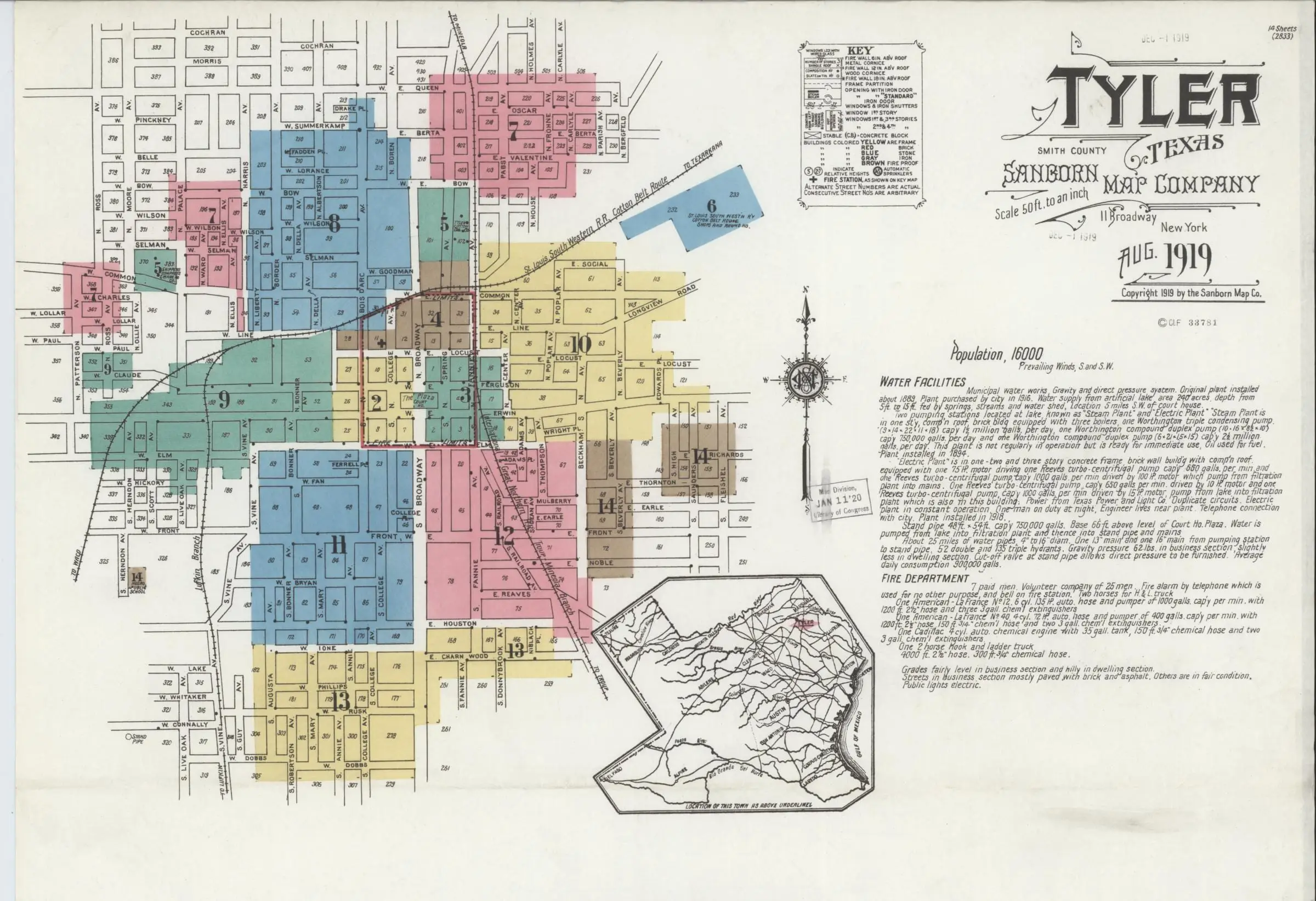
August 1919

“Streets in business section mostly paved with brick and asphalt.”3

No figure this time, and a second material beside the brick downtown. “Others are in fair condition,” the line goes on.

Handwritten notes on the 1919 sheet: “Streets in business section mostly paved with brick and asphalt. Others are in fair condition.”
The top of Sanborn’s August 1919 sheet of Tyler: colored blocks spreading from the square along the rail lines, a small map of Texas, and the notes beside the title.
Sheet 1, August 1919: the key map, a small map of Texas, the title and the notes. The strip by the quotation is the line itself, at full size.Sanborn Map Company, Tyler, Smith County, Texas, 1919. Library of Congress, Geography and Map Division, Sanborn Maps Collection.The whole sheet at the Library of Congress (opens in a new tab)

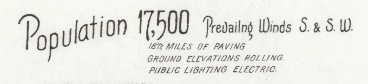
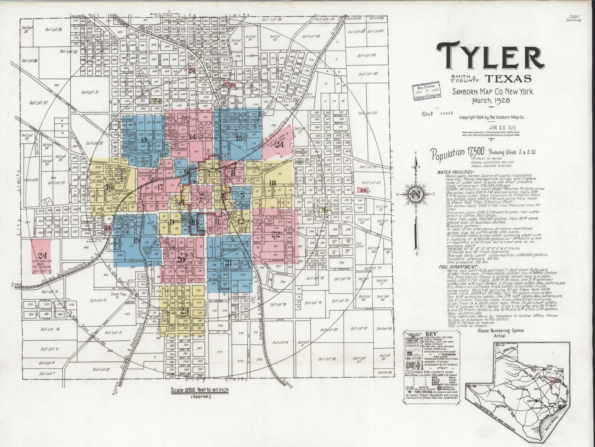
March 1928

“18½ MILES OF PAVING”6

The whole town now fits one key map, and the figure has no material. Three years before, voters had passed a bond to pave 15 more streets, “the beginning of ‘new Tyler,’” the papers called it.5

Hand lettering on the 1928 sheet: “Population 17,500” and below it “18½ miles of paving.”
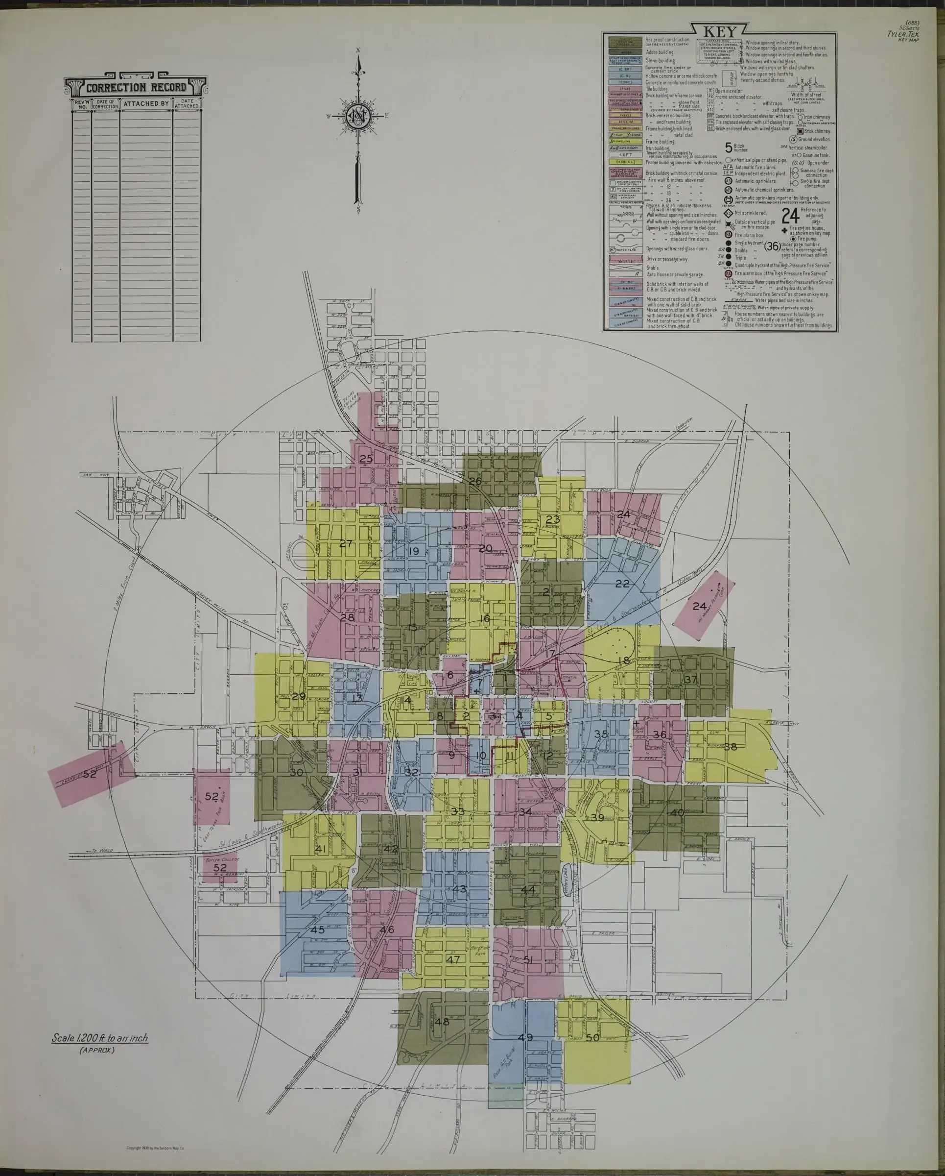
Sanborn’s March 1928 key map of the whole town of Tyler: a grid of streets and numbered out-lots inside a circle, the colored sheets at its center, with the title, the notes and a small map of Texas at right.
Sheet 1, March 1928: a key map of the whole town. The strip by the quotation is the line, at full size, under the population.Sanborn Map Company, Tyler, Smith County, Texas, 1928. Library of Congress, Geography and Map Division, Sanborn Maps Collection.The whole sheet at the Library of Congress (opens in a new tab)

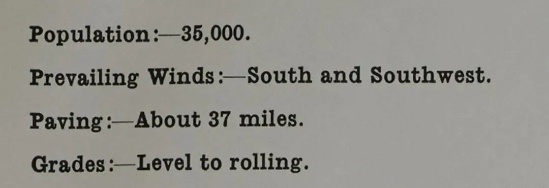
1938

“Paving:—About 37 miles.”7

Printed now, on a report page bound into the atlas, and again with no material. The National Register’s survey puts the brick at about 20 miles by about 1942, when the war took the money and the men.10

Printed report page, 1938: “Population:—35,000. Prevailing Winds:—South and Southwest. Paving:—About 37 miles. Grades:—Level to rolling.”
Sanborn’s 1938 key map of Tyler: more than fifty colored sheets in a ring around downtown, a correction record and a key at the top.
The key map, 1938: the whole city in 52 numbered sheets. The strip by the quotation is from the atlas’s report page.Sanborn Map Company, Tyler, Smith County, Texas, 1938. Library of Congress, Geography and Map Division, Sanborn Maps Collection.The key map at the Library of Congress (opens in a new tab) The report page at the Library of Congress (opens in a new tab) at the Library of Congress

After the maps

The 1938 line is the last of the five. The counts that follow are of brick alone, and they come down: about seven miles left in 2000–03, in the National Register’s words,11 and 13 in the city’s count of 2023.12 The missing miles

Notes

Every source is listed on Sources and methods.

  1. Note 1. The Sanborn fire insurance map of Tyler dated September 1907 says on its first sheet: 'Grades generally level. streets not paved.' The 2000 National Register survey and the 2003 Brick Streets nomination say the streets around the courthouse square were paved in 1907, and the survey dates the first paving, at the railroad crossings, to July 2, 1906. The record does not reconcile them.

  2. Note 2. The Sanborn map of Tyler dated February 1912 says on its first sheet: 'About one mile of brick paved streets.' It fits neither start date cleanly: the 2000 survey dates the first paving to 1906 and the square to 1907, and city data reported in 2015 puts the first streets around 1912.

  3. Note 3. The Sanborn map of Tyler dated August 1919 says on its first sheet: 'Streets in business section mostly paved with brick and asphalt. Others are in fair condition.' City Manager V. W. Prater wrote in 1923 that only about 5 of Tyler’s 130 miles of street were paved.

  4. Note 5. The Tyler Morning Telegraph reported in 2015 that Tyler voters passed a bond in 1925 to build 15 streets on top of a base of 11 already built, and that newspapers at the time called it 'the largest public improvement project ever launched in the city of Tyler' and 'the beginning of new Tyler.' No source we have found gives the bond’s amount or the date of the vote.

  5. Note 6. The Sanborn map of Tyler dated March 1928 says on its first sheet '18½ MILES OF PAVING,' without naming the material. The figure counts all paving, not only brick. In 1923 the city manager counted about 5 paved miles.

  6. Note 7. The 1938 Sanborn atlas of Tyler says on its report page 'Paving:—About 37 miles,' without naming the material. The line is on the atlas’s report page, not sheet 1, and counts all paving, not only brick. The 2000 survey says about 20 miles of brick streets were completed by about 1942.

  7. Note 8. Sources disagree on 1907: the Sanborn map of Tyler dated September 1907 says 'streets not paved,' while the 2000 National Register survey and the 2003 Brick Streets nomination say the streets around the courthouse square were paved in 1907 with Mineral Wells brick. Neither source gives a month for the square, so the two may describe different points in 1907. The same 2000 survey dates the first paving, at the railroad crossings, to July 2, 1906.

  8. Note 9. According to the city's 2000 multiple-property survey, Tyler's first paving began on July 2, 1906, when contractors Allen and Harrison laid red brick from Thurber, Texas, at railroad crossings. The Tyler Morning Telegraph, citing city data in 2015, puts the first brick streets around 1912, so no single start year is given here.

  9. Note 10. The 2000 survey says about 20 miles of brick streets were completed up to about 1942, when World War II diverted funds and manpower, and that by then residents were no longer routinely choked by dust or mired in mud; the Tyler Morning Telegraph (2015), citing city data, says brick streets were installed through 1947.

  10. Note 11. Around 2000-2003 the National Register documents said only about seven miles of red brick streets remained in Tyler, much of it in central residential areas. Later city figures are higher: about 15 miles (2013), 13.8 (2015), 13 (2023). The 2015 report notes that brick also survives under asphalt; no source reconciles the counts.

  11. Note 12. In July 2023 KETK reported that the Street Maintenance Department identified areas of 'the 13 miles of brick streets around the City' that need repair, while KLTV's version of the same release said '13 miles of brick street were identified as needing repair.'